Information stream

Family played a pivotal role in our finding this special place. Although our decision to actually pull the purchase trigger likely raised a few eyebrows, they have been supportive at every turn. This support is incredibly important.
At closing, the attorneys want us to be aware that a brook indicates our property borders. If the path of the brook changes, so does the property line. We take note. Shifting waterways may sound unlikely, but there is still evidence visible of the extensive water damage caused by Hurricane Irene in August 2011.
Among the pile of documents we take away from closing is a survey. This doesn’t look much like the lot and block survey we’ve seen previously from owning property in Texas. The legend refers to an iron pin and pipe. Notable survey details include a maple tree and a dead spruce tree on neighboring land, along with stone walls, wire fencing, and the brook’s meandering downhill path along the southern, and down to, the eastern border.
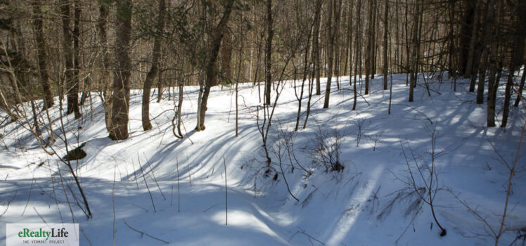
About 100 feet south of the house we see a dip in the snow which we’re guessing has a brook beneath it. We can hear water moving and can see where it goes beneath the town road.
We decide to break out the survey one evening in hopes of gaining additional insight from family. One family member takes a closer look.
“Look at the placement of power poles, here and here,” he says pointing to circles on either side of the road that marks the western property border. We don’t catch on at first, but then realize why the utility poles are important. We thought the second pole, the one farthest south, was on a neighbor’s property.
“There must be a second stream,” he observes. The next day we realize his statement is correct. Turns out the water running nearest the house is not the named brook on the survey. Farther south, up a hill, just beyond the second utility pole, we discover the larger named brook running beneath the road.
In less than 24 hours we scored a new brook and more land. It just keeps getting better.


